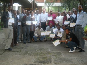
 An 'Introduction to GIS' training (using ArcGIS Desktop) was given by the GIS team of the Ethiopia Strategy Support Program II to 23 participants from Central Statistical
  Agency, National Meteorological Agency, and ESSP II. The training took place at the International Livestock Research Institute campus, September 20-22, 2011.
 This training is a component of ESSP II 's capacity building.
The training included courses on: the principles of GIS, acquiring geographic data, manipulating attribute tables in ArcGIS, exploring spatial relationships using chloropleth mapping, introduction to projections, exploring and utilizing georeferenced data, spatial data integration and data query, spatial measurements and statistics, meteorological data presentation, and agriculture survey data presentation.